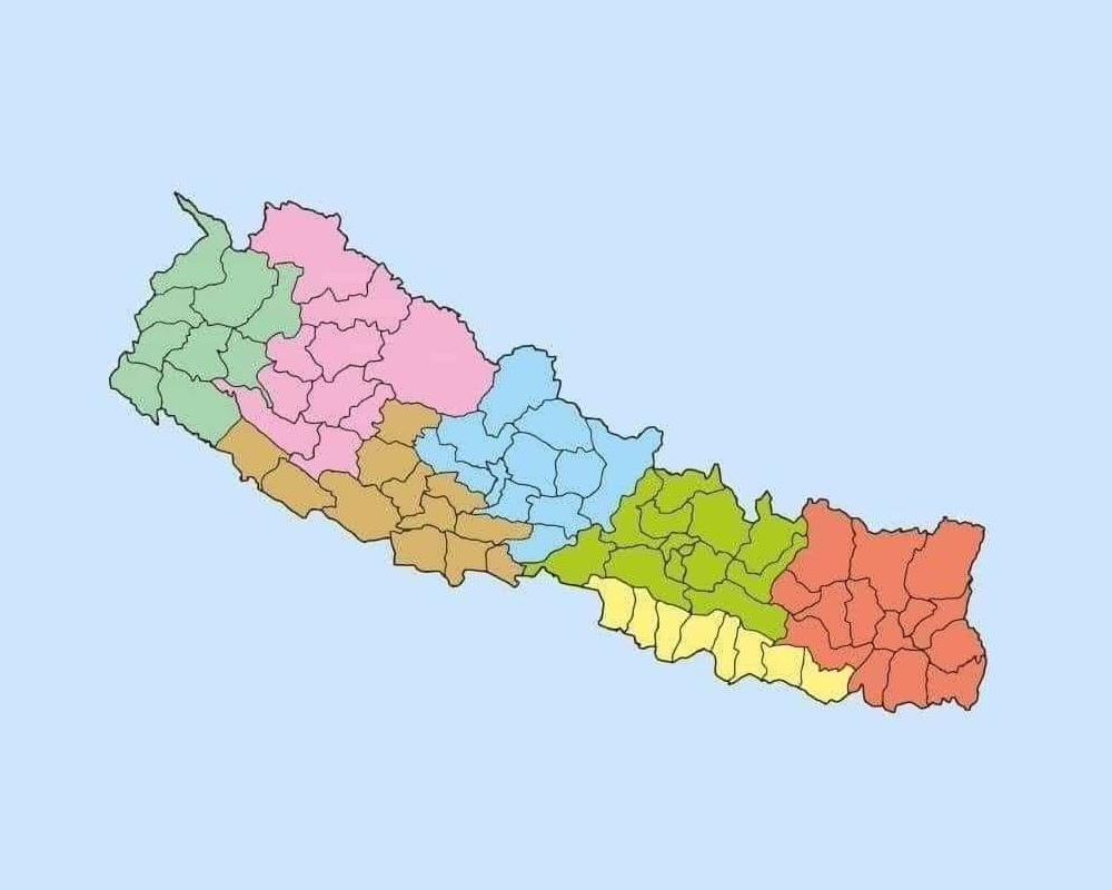
Nepal declares new political map placing Kalapani and Limpiyadhura within its borders
The government has endorsed a new political map that includes Kalapani and Limpiyadhura. The government will soon publicize the new political map that incorporates the territory unilaterally kept by India on its side of the border.
A cabinet meeting held at the official residence of the Prime Minister in Baluwatar took a decision to this effect. Minister for Land Management Padma Aryal had presented a proposal of a new political map of the country at the cabinet meeting for endorsement.
Minister for Culture, Tourism and Civil Aviation, Yogesh Bhattarai said the decision of the cabinet on Monday will be written in golden letters. While stating that the date and decision of the cabinet on Monday will be asked in all quiz contests for ages to come, Minister Bhattarai in his tweet after the cabinet meeting also thanked Prime Minister KP Oli for taking the decision. Minister Aryal had earlier said that a new political map had already been prepared as per the directive of a parliamentary committee.
India and Nepal are at odds after the Indian side issued a new political map incorporating Kalapani and Lipu Lekh on its side of the border in October last year. The tension between the two countries flared up lately after the Indian side inaugurated a link road that passes through the territory belonging to Nepal.
Source: Published On Republica
-
Clients Review
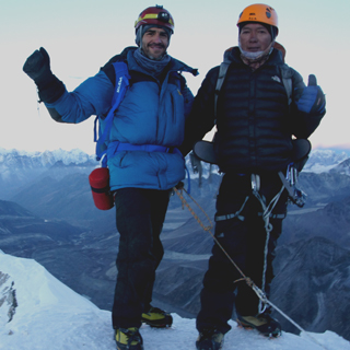
Excellent Service from Durga - Mount Trails
We had a very impressive ascent of Island Peak, everything works well.Many thanks to Durga, for the organization, including the start and the end of our trip in Kathmandu in the lovely hotel Yala Peak…
Michael Gehrísch, Germany Read More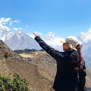
The memorable trip
This trip is one of the most incredible travel that I ever experience. The host was very genuinely and welcoming throughout the trip. If I have a chance to go back, I would love to…
Koong Chantima, Thailand Read More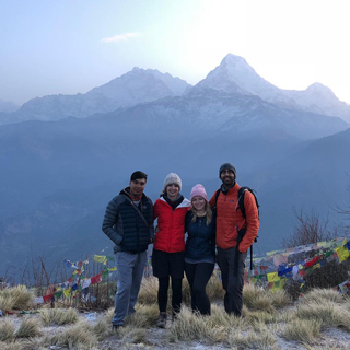
Wonderful Experience
We had such a great experience in Nepal, and a lot of that is thanks to Durga. We were there for two months for an internship and wanted to do a trek near the end…
Jillian Raghow, United States Read More
“Best Nepalese Experience You Can Get!”
Recently my wife and I returned from 15 months backpacking around the world, and our most amazing adventure was in the Nepalese Himalayas where we eloped! But this was all possible thanks to Durga and…
Clint B, Australia Read More
Wonderful Trekking
Durga is a wonderful leader. He always thought of our group most relaxing
Jimmy T, Australia Read More
It feel like looking above heaven while trekking.Thank you to sam and our support staff for the best trip in Nepal .- feeling 200%… -
Our Blog
20FebruarySpring is the best time to Trek in Nepal
Spring is a popular time to visit Nepal, as the weather is generally mild and there are many festivals and cultural events taking place. The spring season in Nepal typically lasts from…
Read More20FebruaryBandipur - Authentic village and beautiful hidden gem in Nepal
Bandipur is a small hilltop town located in the Tanahun District of Nepal, approximately 143 km west of the capital city, Kathmandu. It is situated at an elevation of 1,030 meters above…
Read More18MayNepal declares new political map placing Kalapani and Limpiyadhura within its borders
The government has endorsed a new political map that includes Kalapani and Limpiyadhura. The government will soon publicize the new political map that incorporates the territory unilaterally kept by India on its…
Read More11DecemberManaslu Circuit Trek Complete Guide for the better experience
Manaslu circuit trek is one of those trekking trails which reach over 5000 meters altitude. You will be at the height of 5167 meters which is the highest elevation we get…
Read More27AugustGokyo Lake Trek in October
Gokyo Lake Trek in Nepal is the best trekking in Everest Region for any trekker or travelling enthusiast. There are best trekking route in Everest Region, amount them Gokyo Lake Trek is…
Read More
Associated with:


